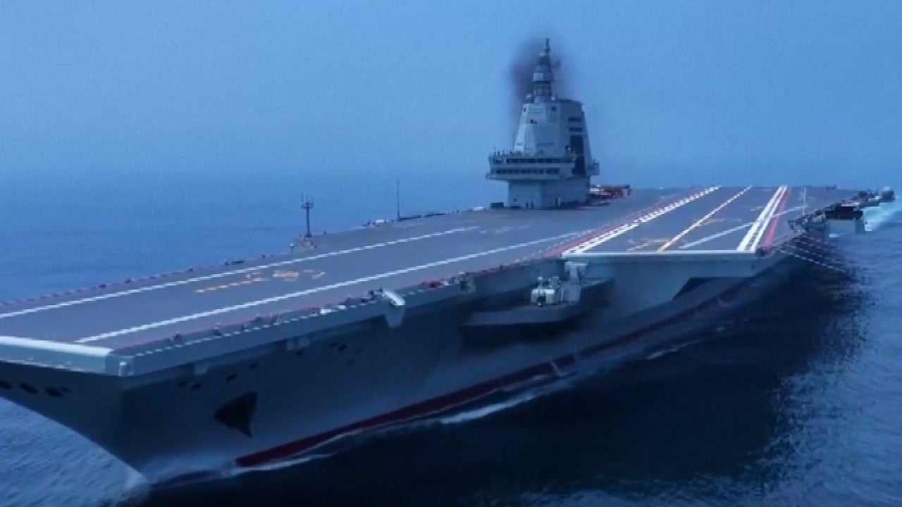
Chinese naval scientists have unveiled a method to identify and track US warships around the globe using low quality satellite images that are free and available to anyone.
The satellite photos potentially have a resolution of tens, or even hundreds, of metres, meaning that a large ship may only occupy a single pixel, or even less, making it invisible to the naked eye.
However, a team led by Hong Jun of the Dalian Naval Academy, said it had discovered a US Nimitz-class aircraft carrier, a Ticonderoga-class cruiser and an Arleigh Burke-class destroyer from these images.
Their method focuses on analysing the waves behind the ships, a simple technique that could be used by almost any country or organisation. Different ships create distinct wave patterns on the sea surface, similar to fingerprints.
However, they said accurately identifying specific US warship models required the use of sensitive parameters.
In a peer-reviewed paper published in the Chinese academic journal Computer Simulation in April, Hong and his collaborators from the Navy Submarine Academy disclosed their physical parameters.
Using these parameters and the algorithm provided in the paper, “it is possible to basically identify the target warship model under certain conditions,” the team wrote in the paper.
The US has the largest fleet in the world, but many of its warships are built with legacy technologies and concepts from the Cold War era.
While the attacks applied pressure to US military officers and soldiers, there is no direct evidence the Houthis had hit a US warship.
Accurate and timely intelligence is a necessary condition for hitting a moving warship hundreds of kilometres away.
In recent years, China has established a vast network of Earth observation satellites. According to state media reports, data revealed by Professor Li Deren, who received the country’s highest science and technology award this year, the resolution of these satellites could reach 0.1 metres (4 inches), equal to that of American Keyhole spy satellites.
China’s powerful satellites not only monitor warships but also track high-speed F-22 stealth fighter jets through clouds.
However, for countries or organisations without these capabilities, there are platforms that provide near-real-time satellite imagery for free, although their image resolution is relatively low.
For example, Nasa’s Worldview has a resolution of 250 metres (820 feet) – the area corresponding to a single pixel exceeds the deck of the US Ford-class aircraft carrier, the largest in the US navy.
However, the wake of a ship can extend up to tens of kilometres. For Hong and his colleagues, even the blurriest satellite photos could contain useful information to identify ships.
One of their challenges was how to extract useful information from environmental noise, with clouds and waves often obscuring the key features of a warship’s wake.
The Chinese scientists detailed in their paper how to eliminate interference and enable computers to quickly detect targets of interest.
However, they warned that the method might fail when the target was moving faster than 20 knots (23mph, 37km/h).
Furthermore, “under the influence of strong winds and waves, the linear and non-linear superposition relationship between sea waves and ship wakes can significantly affect the results”.
“This method still needs to be tested and refined with a large amount of actual data,” they said.
"low" - Google News
July 15, 2024 at 07:00PM
https://ift.tt/SPa0Ied
China doesn’t need expensive super-satellites to track US warships: scientists - South China Morning Post
"low" - Google News
https://ift.tt/dJ6n8oX
Bagikan Berita Ini


0 Response to "China doesn’t need expensive super-satellites to track US warships: scientists - South China Morning Post"
Post a Comment